Below is a brief portfolio & description of the work preformed by W.T. Smith - Land Surveying.
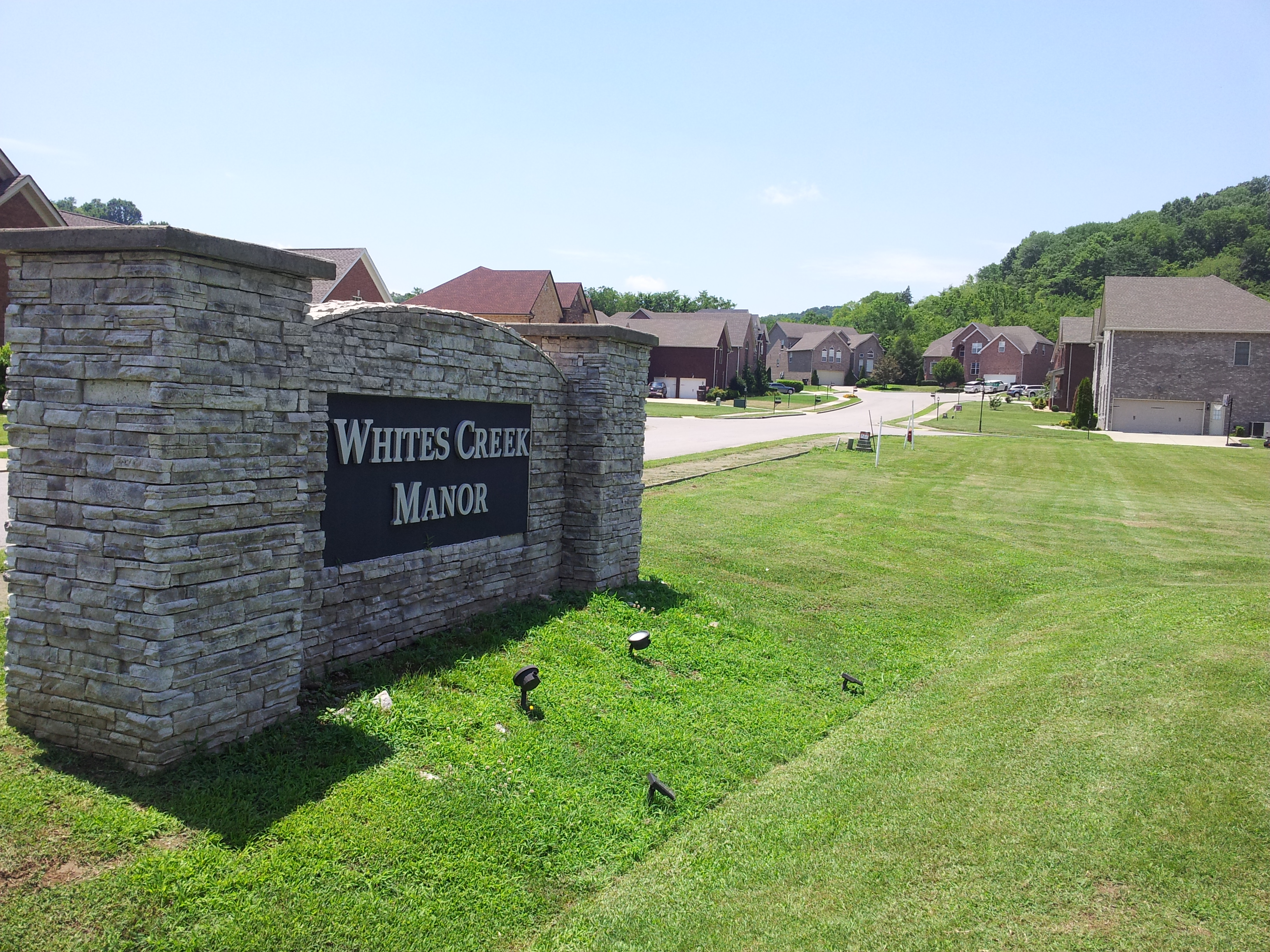
Subdivisions
Over the years W.T. Smith - Land Surveying has surveyed and recorded subdivision plats ranging from 1 lot to multi-lot subdivisions. We have collaberated with engineers, architects and the reviewing agencies for the respective local municipalities to determine the best possible subdivision design.
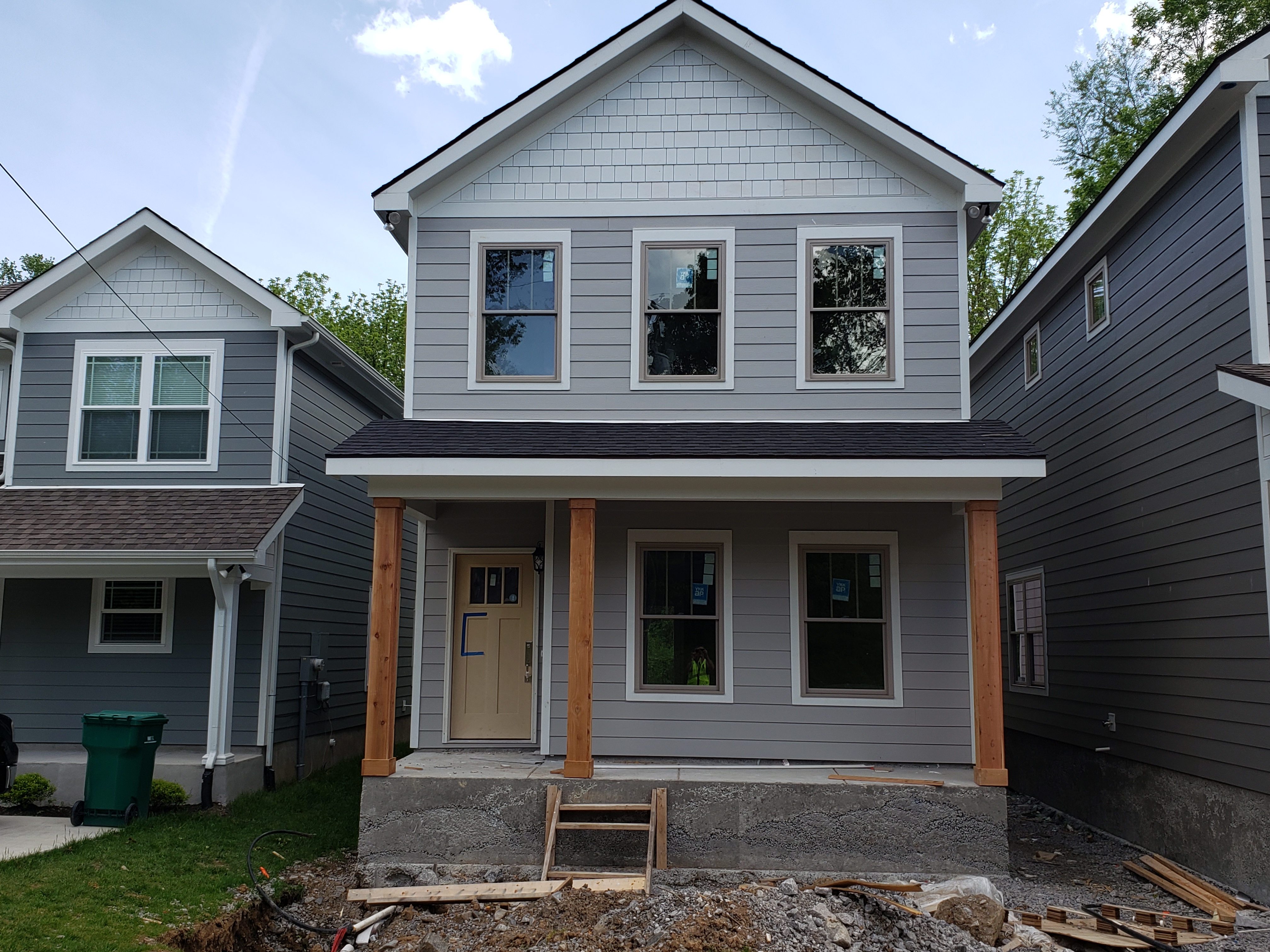
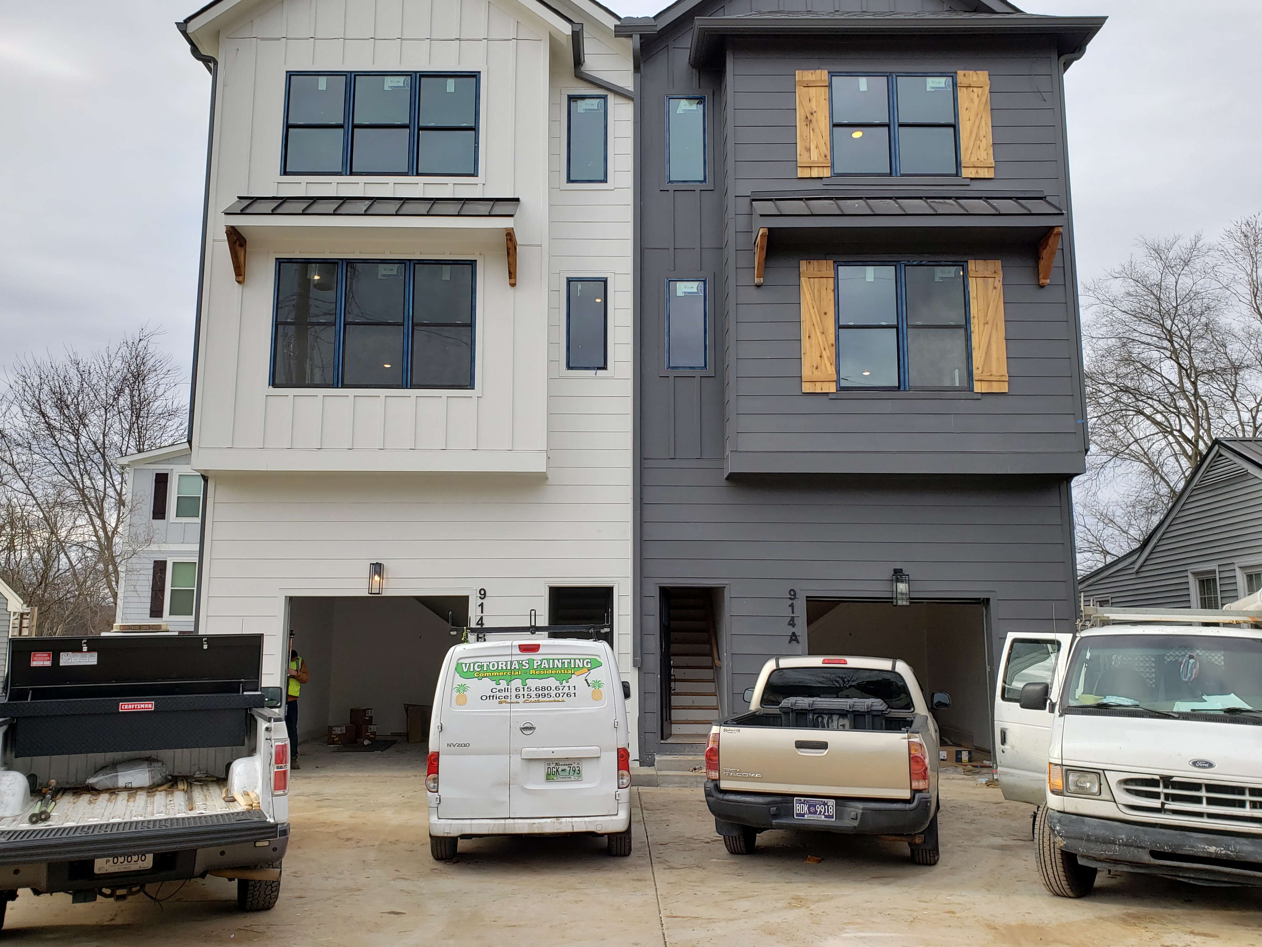
Residential Site Plans / HPR's
Due to the rapid development and expansion of the Metropolitan areas, the need for a residential site plan has become an integral part to the issuance of building permits. We offer the complete package starting with the initial boundary-topographical work. Preparing the site plans (including storm water treatment/mitigation and sidewalk plans). Ending in the construction layout staking and lot staking.
ALTA Surveys
We have worked with many lenders, closing attorneys, and title companies over the years to help with the closing of both residential and commercial realestate closings. The ALTA survey is a highly detailed land survey showing all appurtenances and encumbrances that can be physically measured, located, and/or disclosed by a title search. We make sure to ensure all items of the title policy has been addressed and accurately shown with the proper certifications.
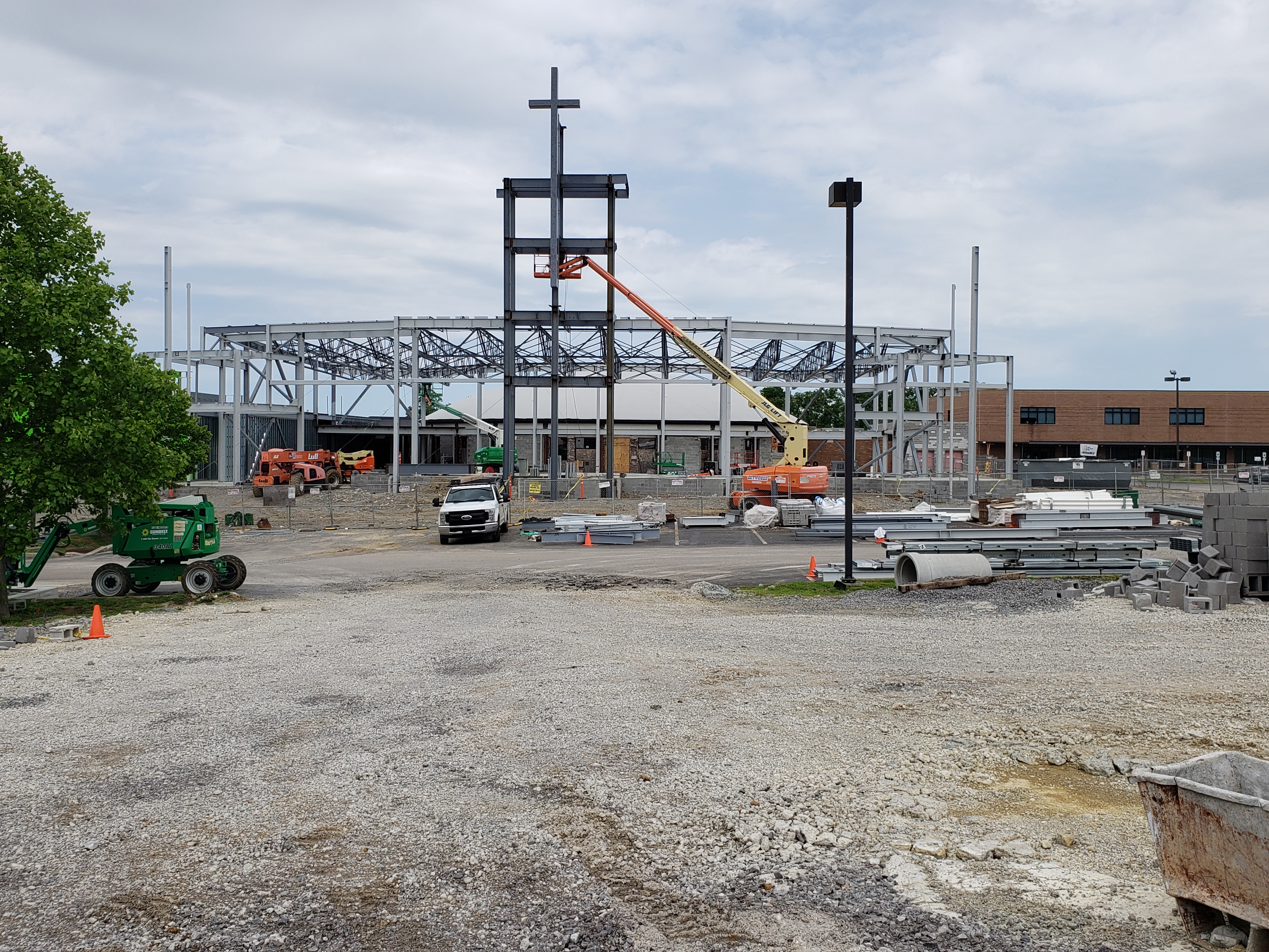
Construction staking / layout
We preform construction stakings / layouts for various size projects including cut-fills for parking, roads, drives, as well as elevations, utility layout, etc.
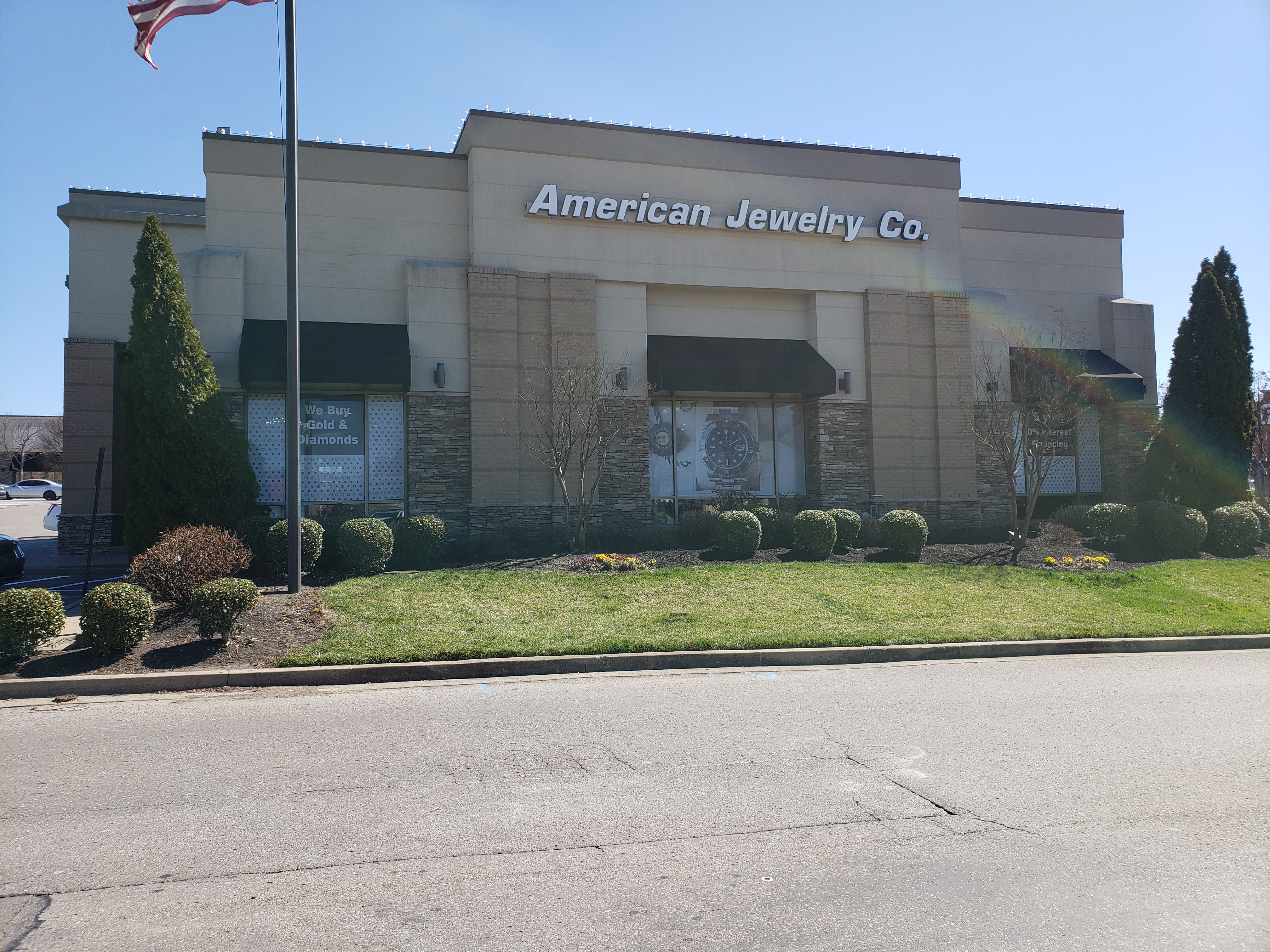
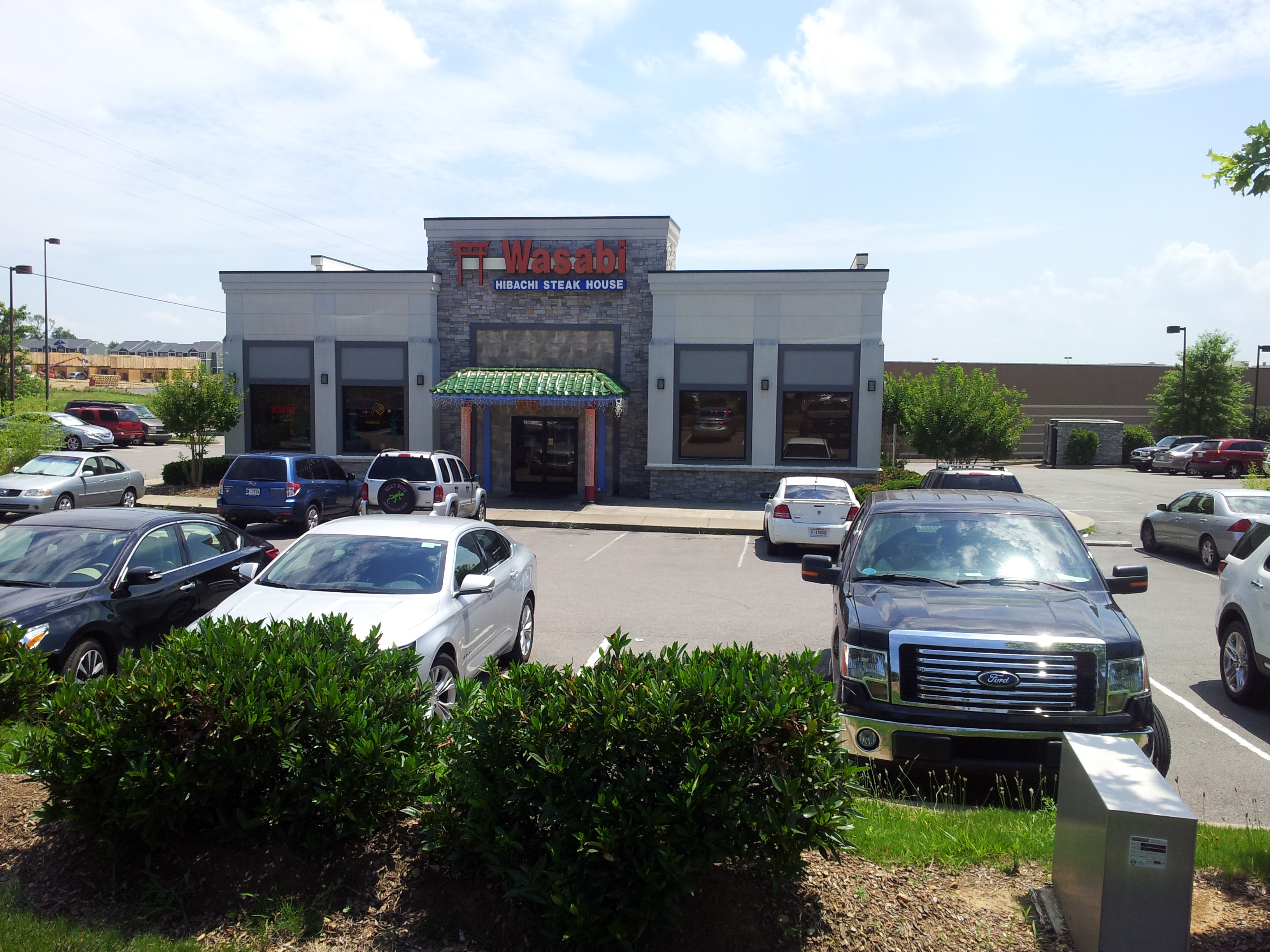
Commercial Surveys
We offer various types of surveys for commercial properties ranging from elevation certificates, boundary surveys, topographic surveys, marking of easements etc.
FEMA Elevation Certificates
W.T. Smith - Land Surveying provides the FEMA Elevation Certicate. These are usually neccessary when a piece of property lies within a flood plain and flood insurance is required by the lender. We also provide the city (when required) with an elevation certificate(s) based on pre/post construction.
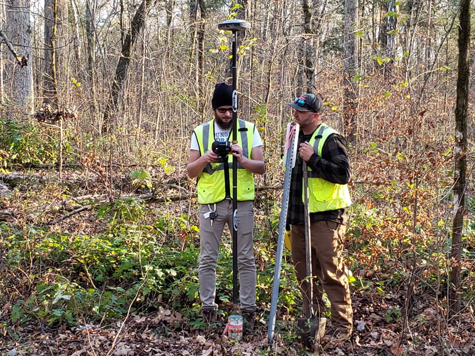
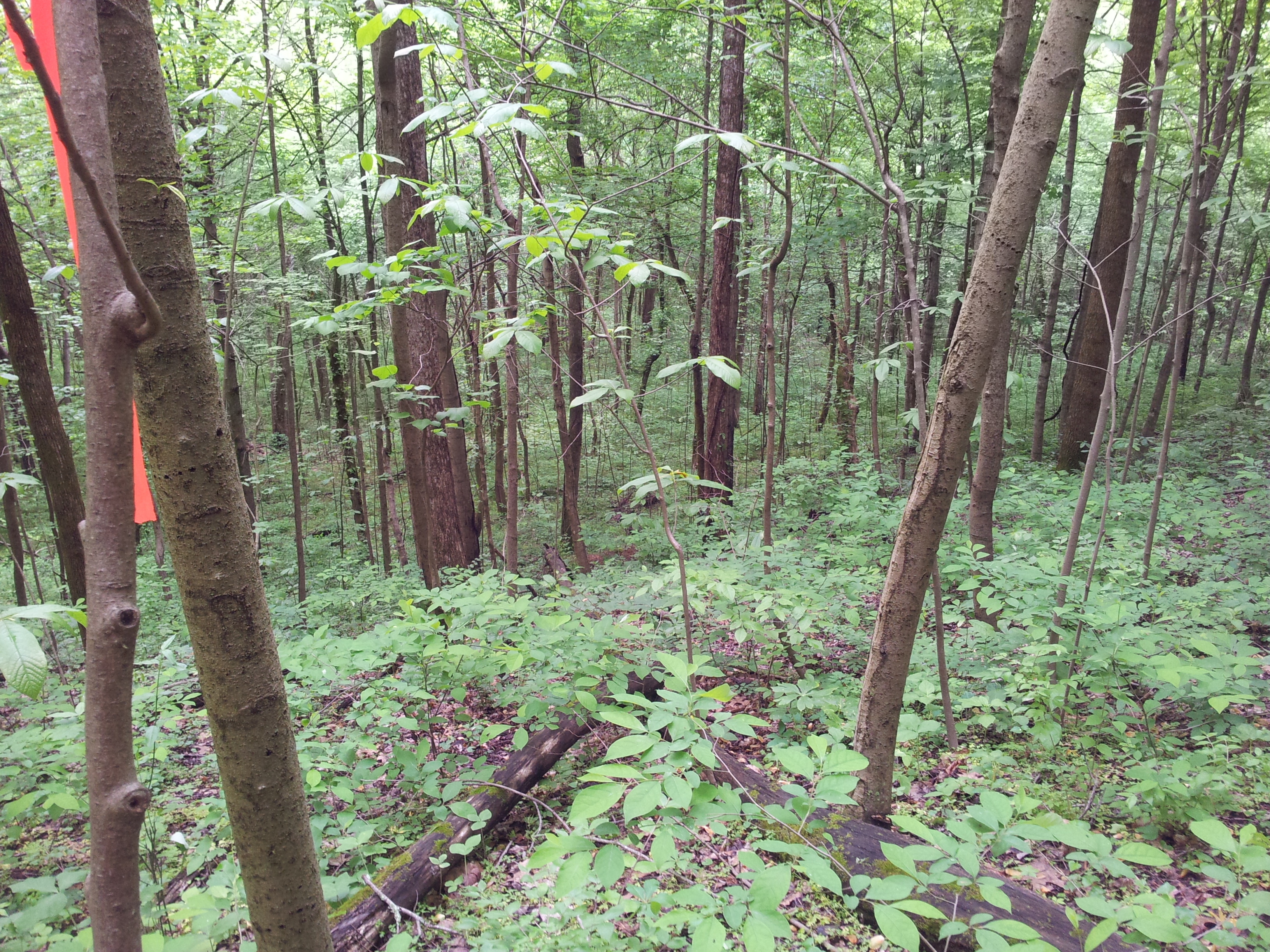
Corp of Engineers boundary line surveys
There have been many times where a piece of property is bounded by a corp of engineers boundary line and the property owner needs the corp line marked. We contact the U.S. Corp. of Engineers to obtain any maps of their boundaries to ensure the boundary is marked/staked correctly.
Floodway/Floodzone Surveys
We also have worked on both large and small scale projects where the floodway buffers and flood zone boundaries have to be staked and/or marked on the ground. If Available, all information is based on the FEMA Maps available and the FIS cross-sectional data.
Boundary Surveys
Over the course of the years we have preformed many urban/rural bounadry surveys. Upon request we provide the client with a map of our survey along with a metes and bounds description of the survey.
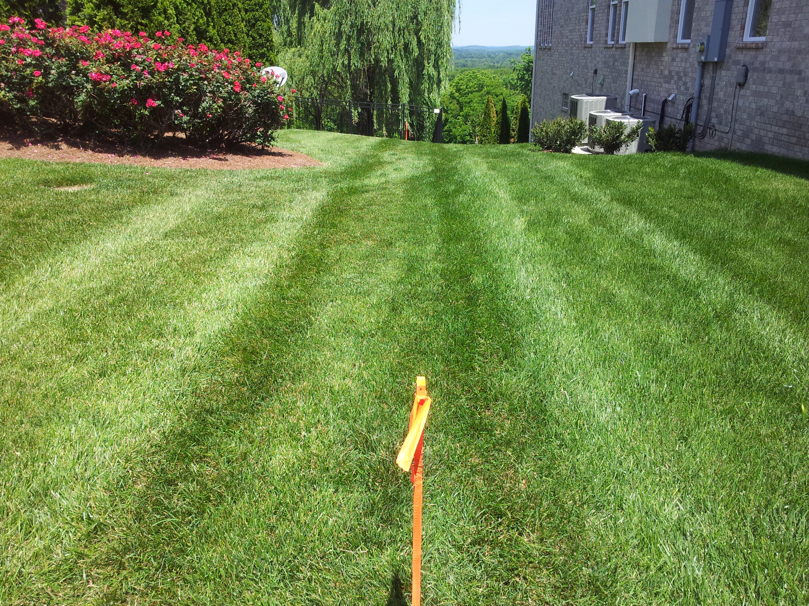
Lot Surveys
Lot surveys are one of our most ordered surveys. We provide lot surveys ranging from small urban lots to bigger 1 acre plus lots. All our lot surveys come with a drawing of the survey for your records.
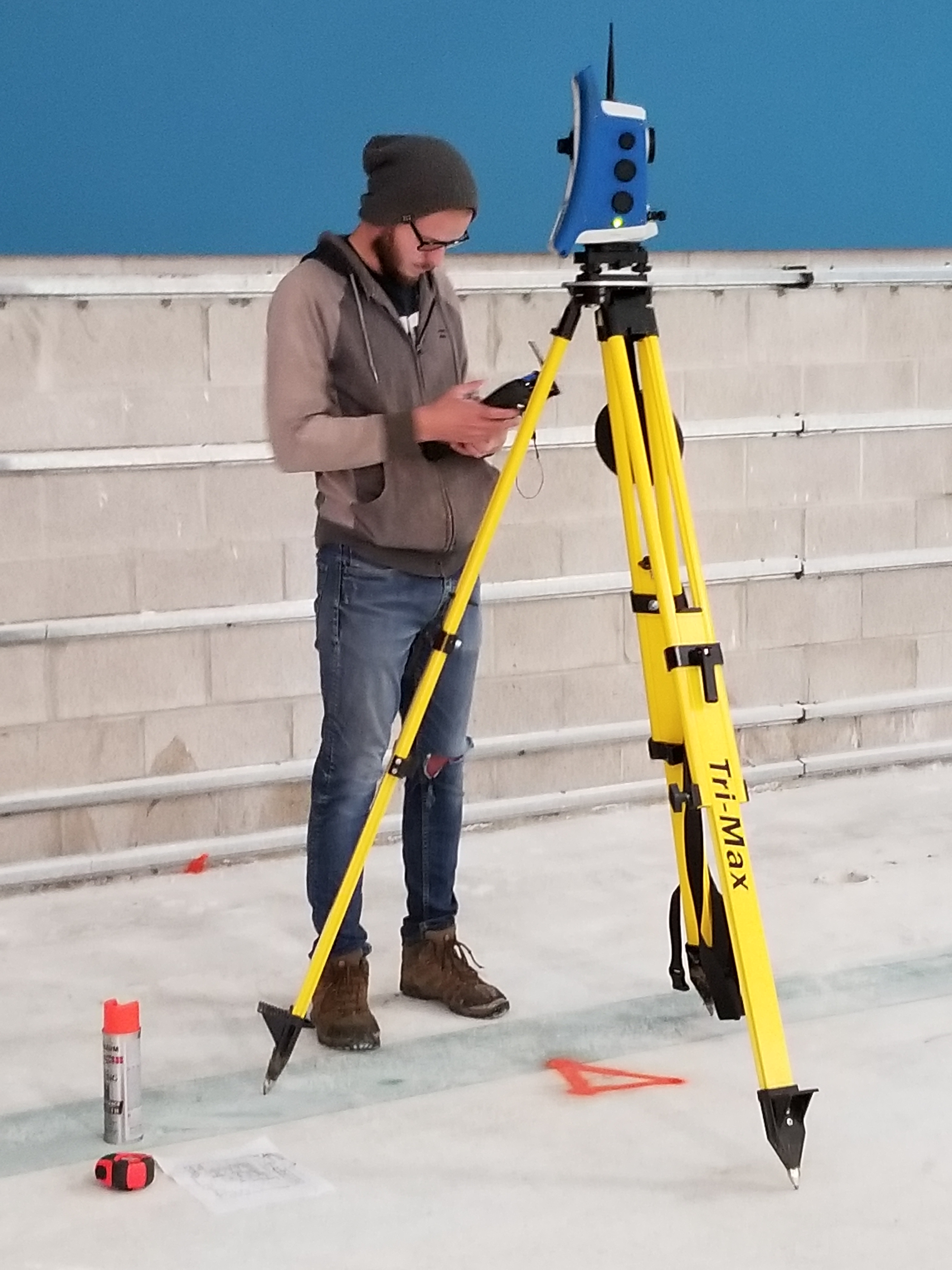
Indoor facility layout
There have been times when the need arises for machinery, equipment or other facility items to be staked with high precision. This is a picture of marking the placement of the attractions for a indoor trampoline park located here in the middle Tn. area.