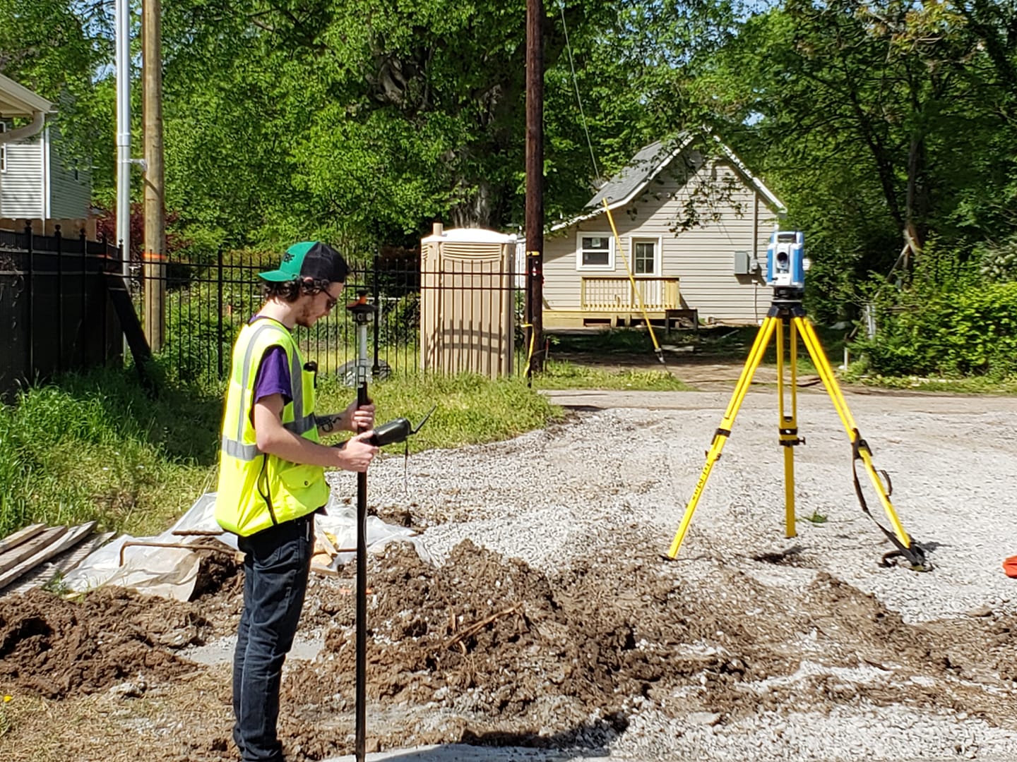
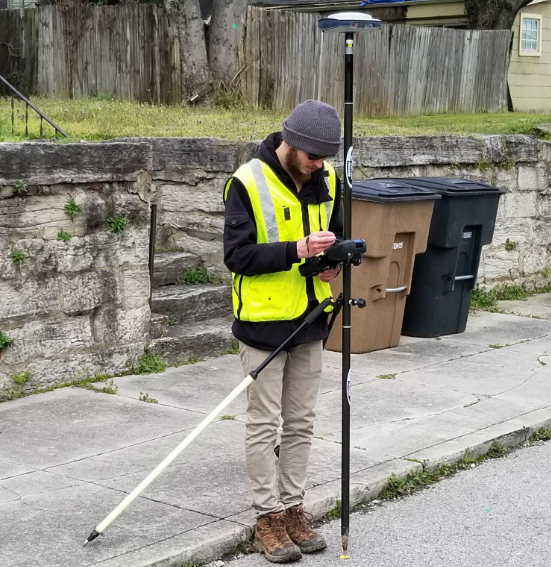
Robotic Survey Instruments
We often use robotic survey equipment to ensure accurate survey and construction staking work.

Over the years we have worked on many survey projects varying in size and scope. Below are some examples of the types of equipment and survey strategies we use to ensure the surveys meet the minimum standard requirements as defined by the Tennessee Regulatory Board for Land Surveyors.
Services are not limited to and include the following:
We often use robotic survey equipment to ensure accurate survey and construction staking work.
We use real time kinematic survey equipment. Our GPS systems are tied into the TDOT Global Positioning Network System for real-time differential corrections.
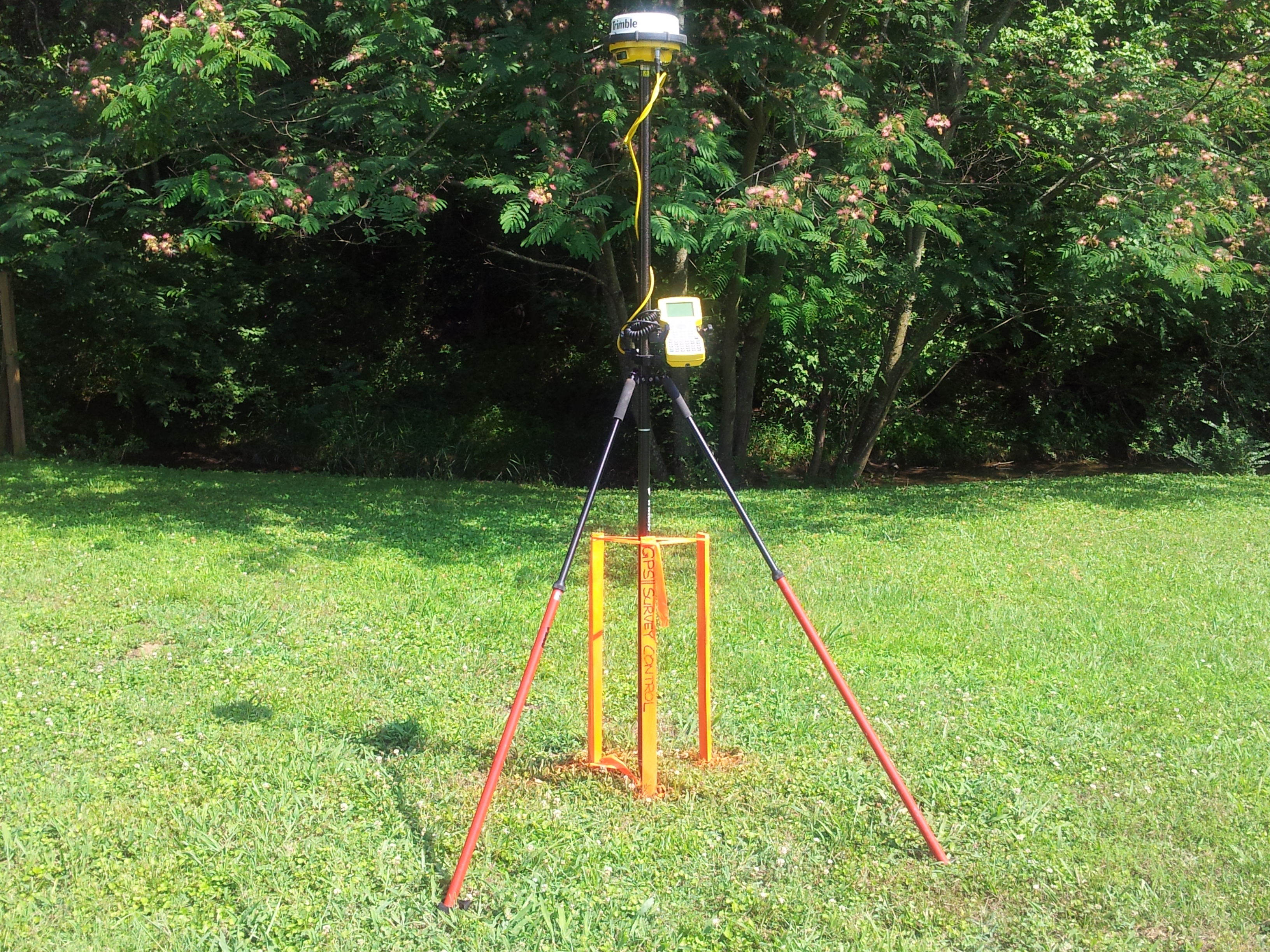
Our static survey equipment records data which is post processed through OPUS with varying degrees of accuracies as required by type of survey.
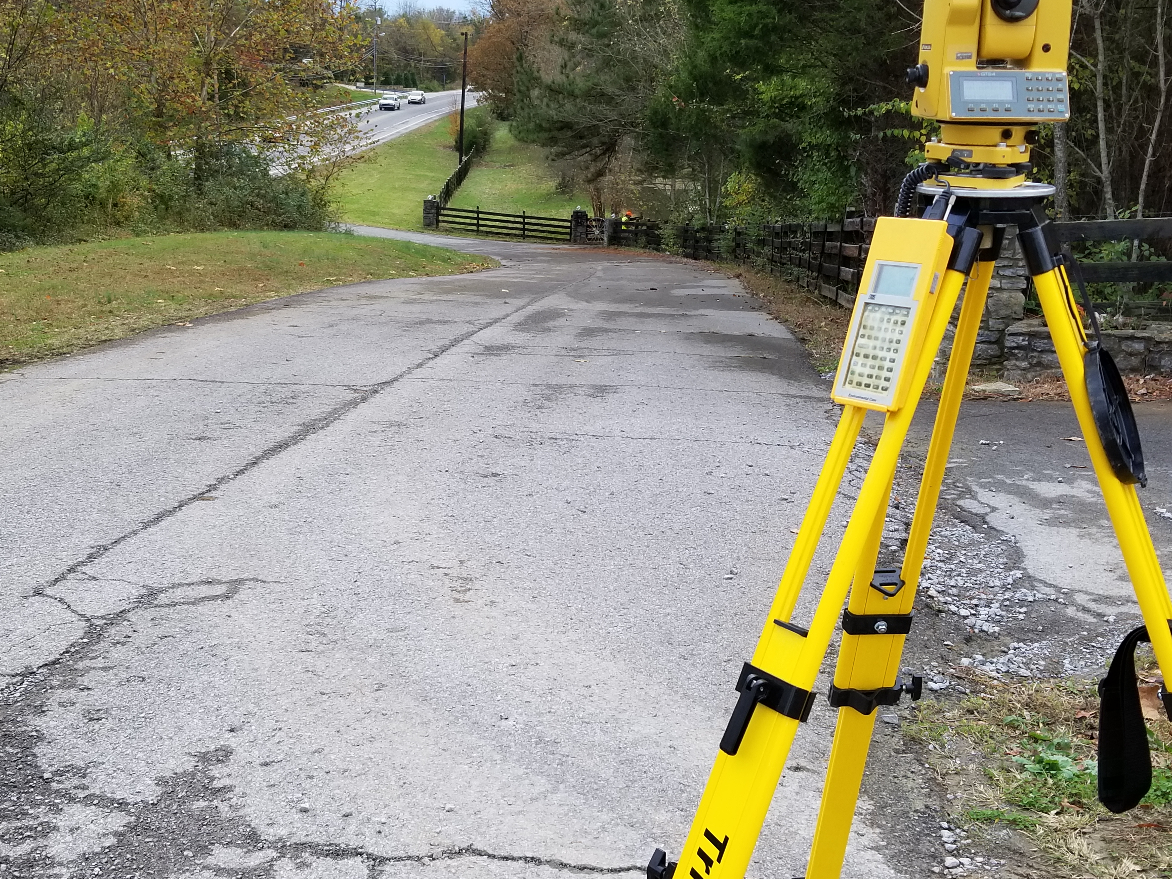
Some surveys require many measurements to be made especially topographic surveys. Much data is recorded through the use of our electronic total stations to create an accurate field to finish survey drawing.
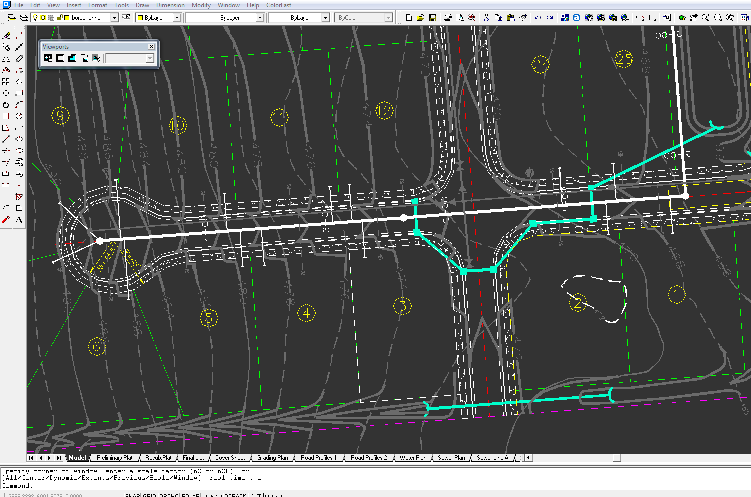
We use Autocad ® software with Eagle Point's ® Civil/Survey plugins on all projects. Available upon request we share our cad files with other professional engineers, architects and designers for a collaborative effort.
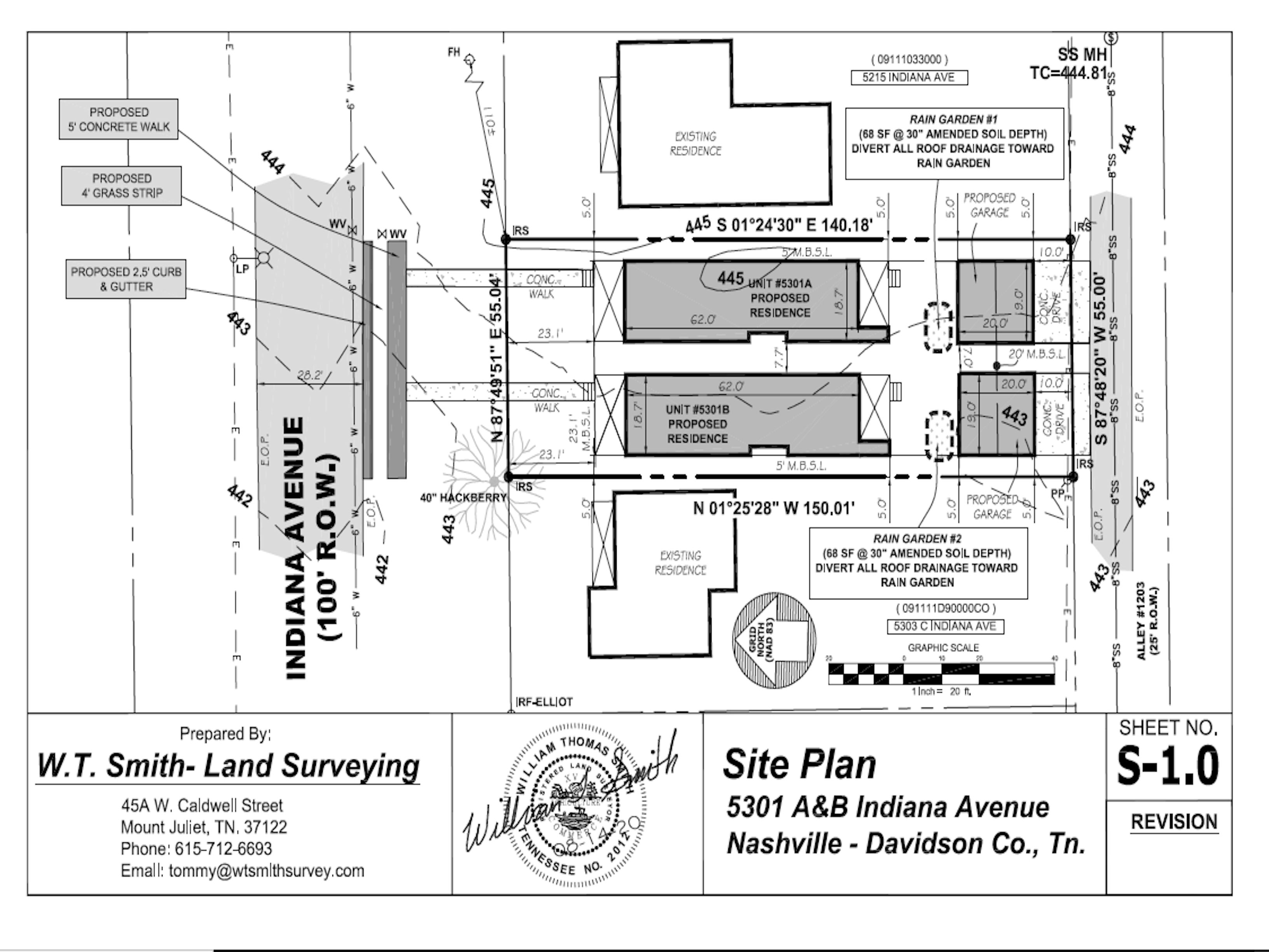
With a continued push for paper use reduction, the majority of our finalized drawings are emailed directly to the client in a pdf format. This helps with the turn-around time of the finished drawing.